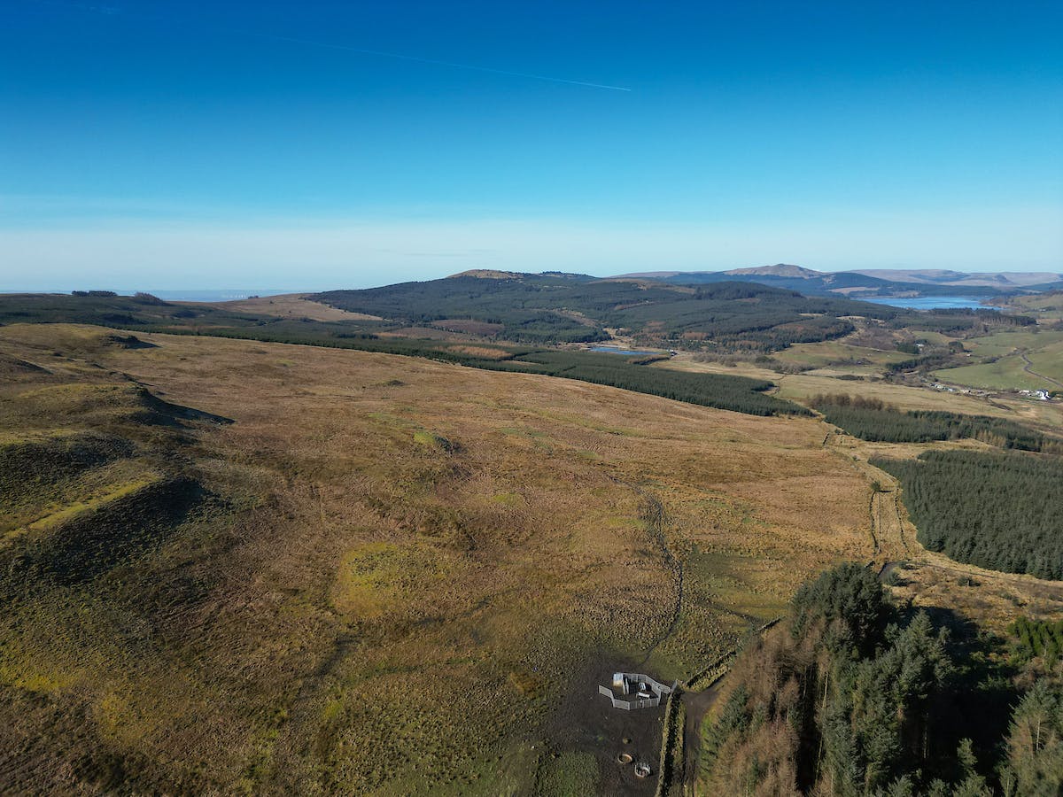
A rare opportunity to acquire a substantial land parcel extending approximately to 105.06 Ha (259.61 acres)
Land at Darrach Hill,
Denny,
FK6 5JF
Offers In Excess Of,
£640,000
- Sizes:
- 11308611 sqft,
- 1050595.6 ㎡,
- 259.61 Acres
Type: Purchase
Scroll to explore

Summary
- Rare opportunity to acquire a generous parcel of hill ground
- Extending approximately to 105.06 Ha (259.61 acres)
- Significant area of grazing land
- Extensive area of open hill with opportunities for peatland restoration and habitat creation
- Land may be suitable for bio-diversity net gain projects
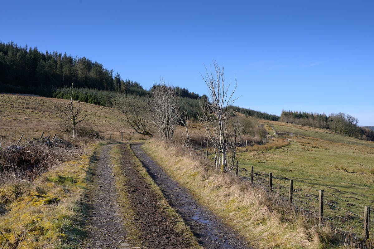
- Vehicular access
Location
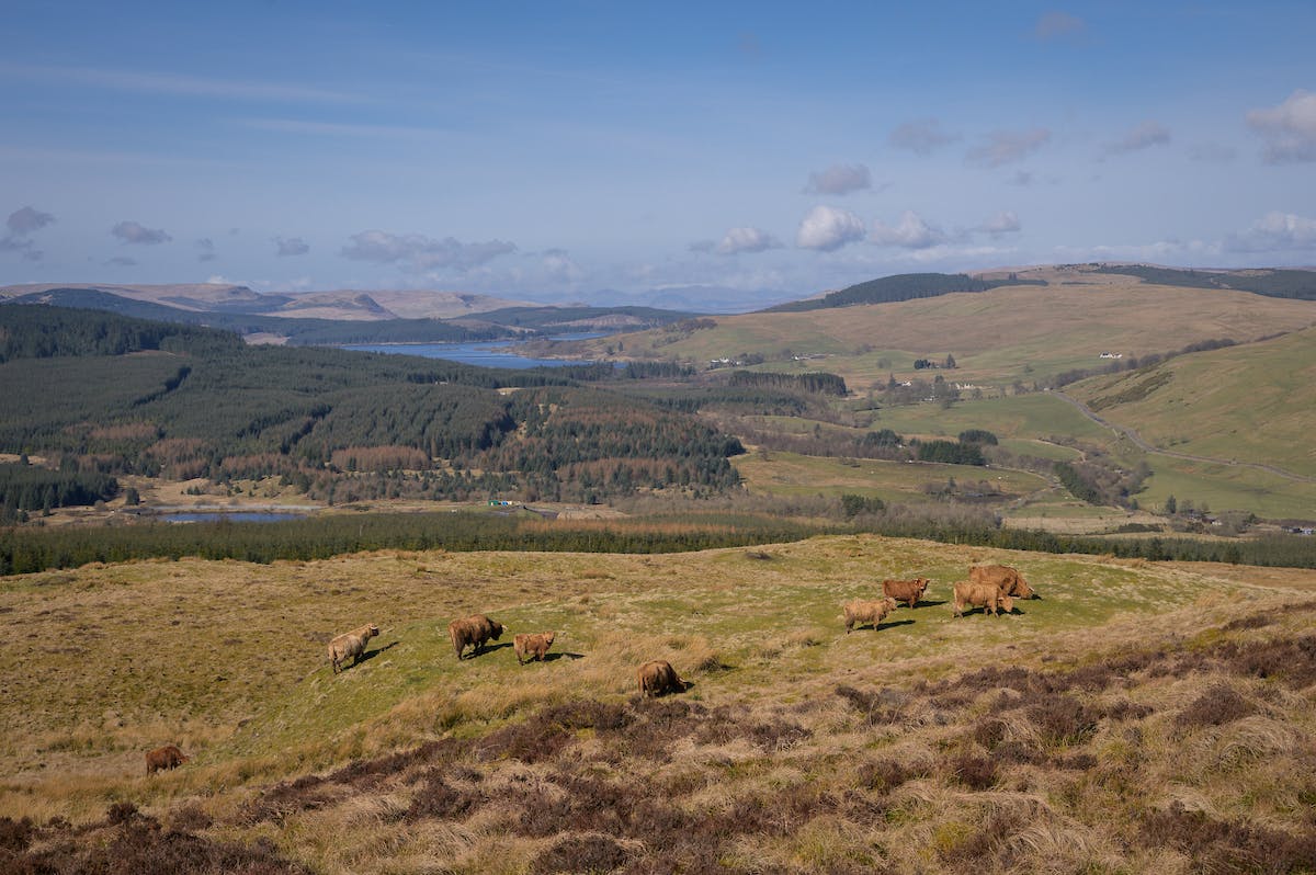
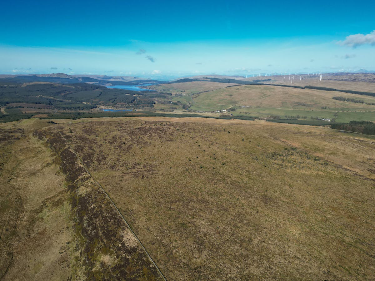
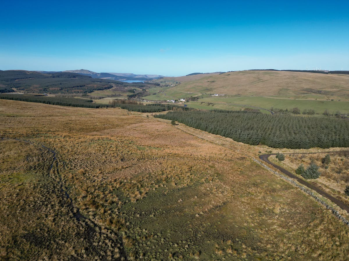
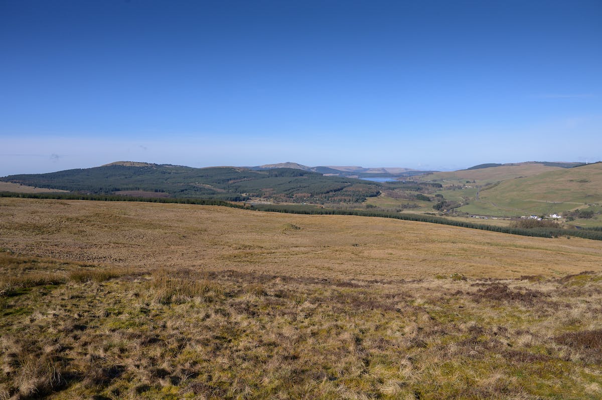
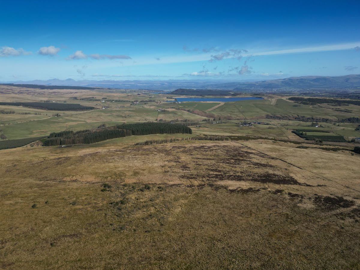
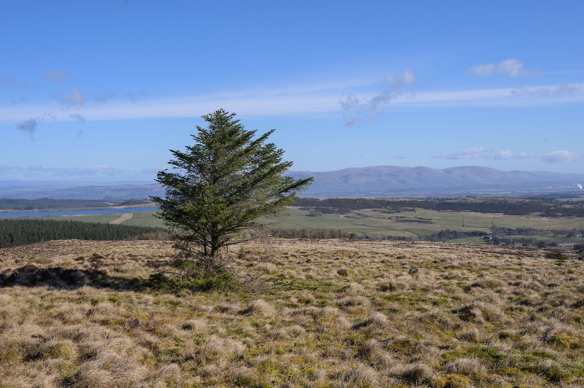
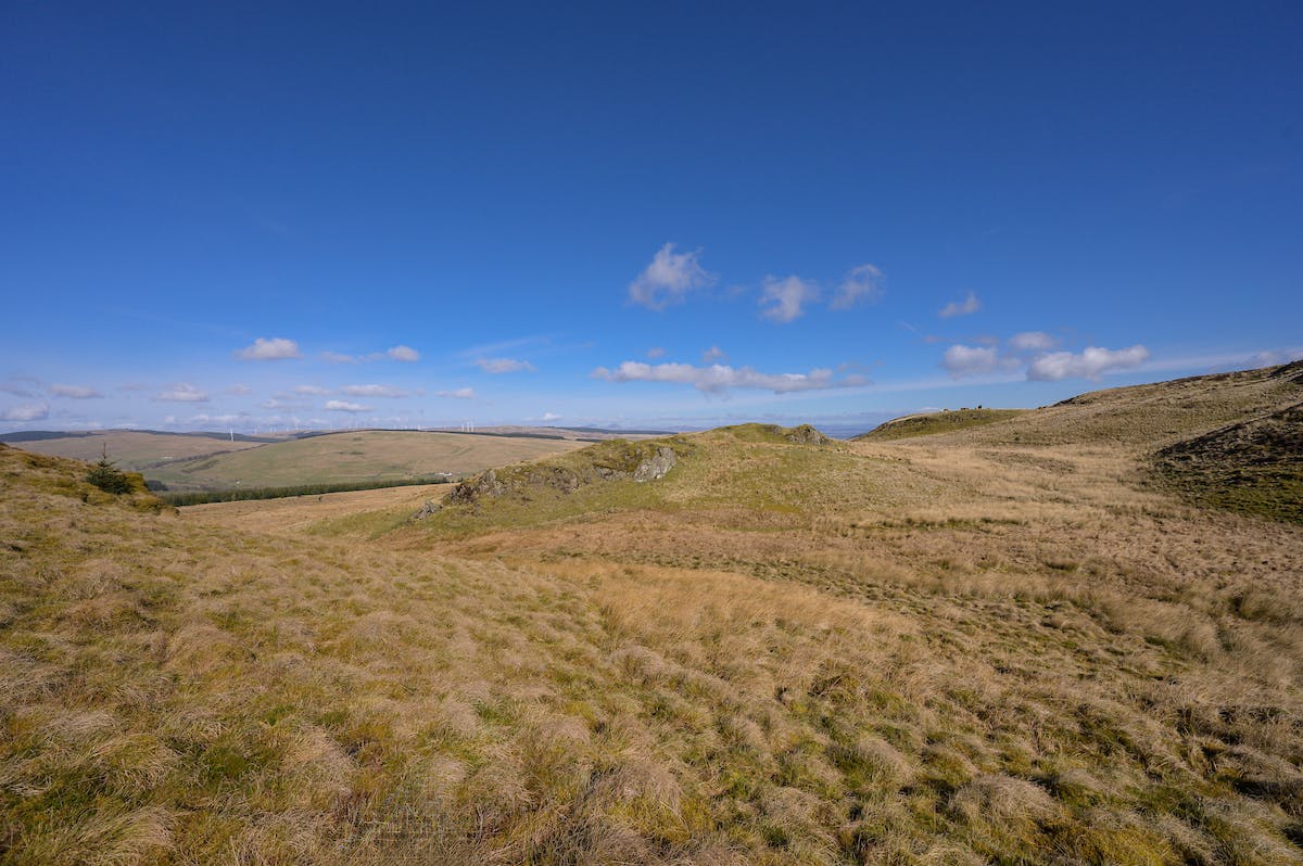
Darrach Hill is accessed of the B818 situated to the North East of Denny at approximately 250m and 360m above sea level, to the south of the River Carron, with neighbouring forestry plantations to the west and north. Stirlingshire and Falkirk are well resourced in terms of agricultural infrastructure, being served by a number of grain merchants, agricultural suppliers, machinery dealers, active machinery ring, Auction Marts and abattoirs. The surrounding countryside of the Carron Valley is well regarded for outdoor pursuits with hacking routes, countryside walks and cycling routes nearby.
Edinburgh and Glasgow are within easy reach of the subjects via the M9 / M876 / M80 motorway network which are only 3 miles from the property. Edinburgh and Glasgow airports are also readily accessible by road.
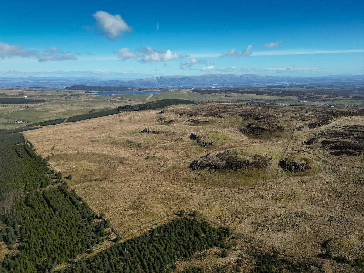
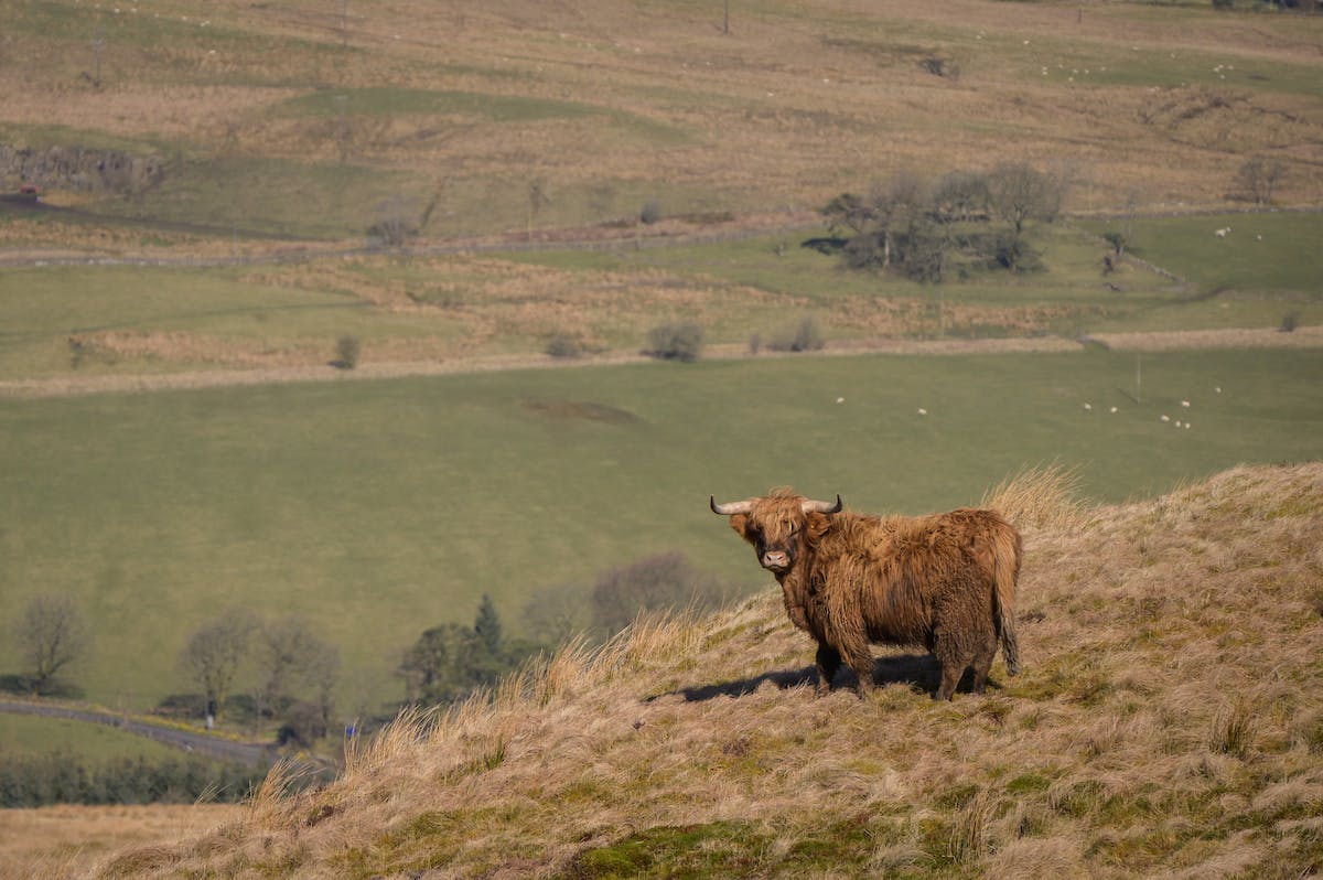
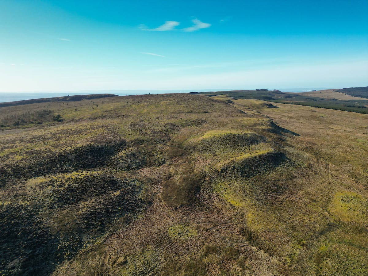
Description
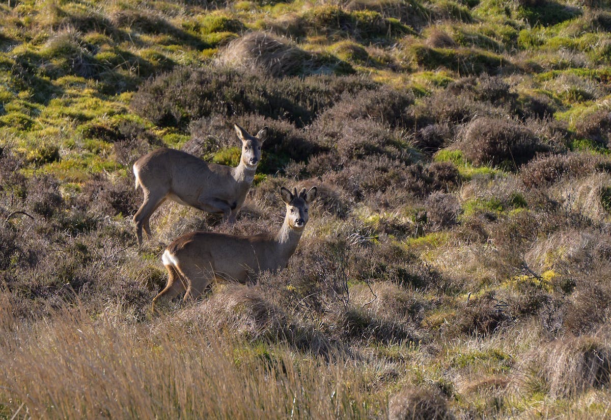
A rare opportunity to acquire a substantial land parcel within the Denny Muir Site of Special Scientific Interest extending to 105.06 Ha (259.61 acres). Darrach Hill is an exceptional land parcel in Central Scotland offering exciting environmental opportunities, agricultural grazing and amenity value. Darrach Hill is located to the east of “Tak Ma Doon” Road near Kilsyth, is the highest point in the Falkirk Council area, standing at 1,170 feet (356m). The land is accessed off a vehicular track heading south from the B818 towards the summit of Darrach Hill, with managed forestry plantations to the north and west. The SSI status means that some operations on the land require consent, full information is available from the Selling Agents. Darrach Hill has predominantly been used for cattle grazing and highland cattle are currently on the land. The Carbon and Peatland Class varies from 0-5 across the hillside, indicated on the HabMoS EUNIS Land Cover Scotland Map to have category D1 areas (raised and blanket bogs). The land is shown on the Hutton Institute Land Capability for Agriculture Plans as being predominantly of Class 6.2 in quality and as such is deemed to be suitable for rough grazing with moderate quality plants. The soils are described on the Hutton Institute Soil Plans as being peaty gleys of the Darleith Soil Association. Field boundaries consist mainly of post and wire fencing. The land is affected by areas of surface water flooding identified on the current SEPA flood maps. There is a wealth of opportunities across this land to establish nature based projects to improve biodiversity net gain and carbon capture.